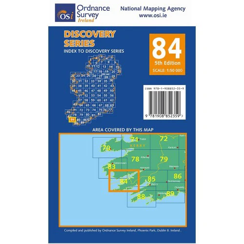
OSI Discovery Map 78 (Part of Kerry)(1:50,000)
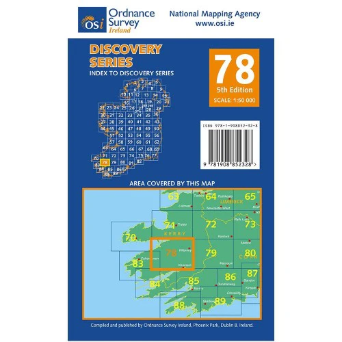
Ordnance Survey Map Sheet 78 | Part of Kerry
Map includes:
- Carrauntoohil | Corran Tuathail
- Cloon Lough | Loch Cluanach
- Gap of Dunloe | Bearna an Choimín
- Hags Glen Loop Walk
- Kerry Way: Killarney - Black Valley - Bridia Valley - Glencar - Glenbeigh
- Kerry Way: Kenmare - Killarney
- Killarney National Park
- Lough Caragh | Loch Cárthaí
- Lough Leane | Loch Léin
- MacGillycuddy's Reeks | Na Cru acha Dubha
- Mangerton Mountain | An Mhangarta (part of)
- Muckross Lake | Loch Mhucrois
- Ring of Kerry Cycle Route: Killarney - Beaufort - Killorglin - Glenbeigh
- Ring of Kerry Cycle Route: Kenmare - Moll's Gap - Black Valley - Gap of Dunloe
- Teermoyle Mountain (part of)
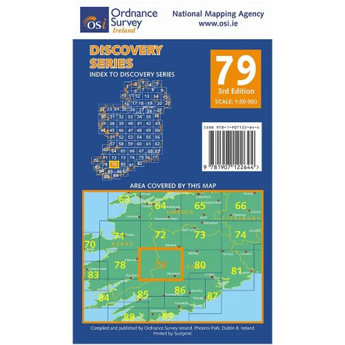
Discovery maps are produced at a scale of 1:50,000 (or 2cm on paper equals 1 kilometer on the ground). Each Discovery Sheet covers an area of 40km x 30km surface area (with the exception of several portrait-format sheets, which are 42km x 32km). There are 93 sheets in the series; 75 are produced by Ordnance Survey Ireland, and 18 by Ordnance Survey Northern Ireland. The maps produced by Ordnance Survey Northern Ireland are called the Discoverer Series.
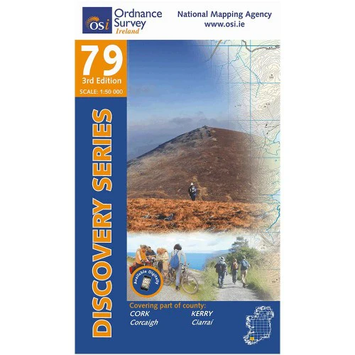
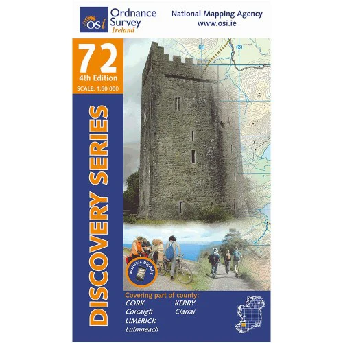
This is a comprehensive series of feature-rich maps which show detailed landscape information, like rivers, lakes, contours and many townland names. The Discovery Series is designed primarily for tourist and leisure activities; these maps are the preferred choice for hill walkers and those in pursuit of the great outdoors. It is also an ideal reference for location-focused business use, in pocket-friendly folded form or as a wall-mounted reference.
Check out our waterproof map cases and dry bags to keep your gear safe and dry during the lovely Irish rain!
OSI Discovery Map 78 Part of Kerry 1:50,000 OSI78
Product Information
Product Information
Shipping & Returns
Shipping & Returns
Description
Ordnance Survey Map Sheet 78 | Part of Kerry
Map includes:
- Carrauntoohil | Corran Tuathail
- Cloon Lough | Loch Cluanach
- Gap of Dunloe | Bearna an Choimín
- Hags Glen Loop Walk
- Kerry Way: Killarney - Black Valley - Bridia Valley - Glencar - Glenbeigh
- Kerry Way: Kenmare - Killarney
- Killarney National Park
- Lough Caragh | Loch Cárthaí
- Lough Leane | Loch Léin
- MacGillycuddy's Reeks | Na Cru acha Dubha
- Mangerton Mountain | An Mhangarta (part of)
- Muckross Lake | Loch Mhucrois
- Ring of Kerry Cycle Route: Killarney - Beaufort - Killorglin - Glenbeigh
- Ring of Kerry Cycle Route: Kenmare - Moll's Gap - Black Valley - Gap of Dunloe
- Teermoyle Mountain (part of)
Discovery maps are produced at a scale of 1:50,000 (or 2cm on paper equals 1 kilometer on the ground). Each Discovery Sheet covers an area of 40km x 30km surface area (with the exception of several portrait-format sheets, which are 42km x 32km). There are 93 sheets in the series; 75 are produced by Ordnance Survey Ireland, and 18 by Ordnance Survey Northern Ireland. The maps produced by Ordnance Survey Northern Ireland are called the Discoverer Series.
This is a comprehensive series of feature-rich maps which show detailed landscape information, like rivers, lakes, contours and many townland names. The Discovery Series is designed primarily for tourist and leisure activities; these maps are the preferred choice for hill walkers and those in pursuit of the great outdoors. It is also an ideal reference for location-focused business use, in pocket-friendly folded form or as a wall-mounted reference.
Check out our waterproof map cases and dry bags to keep your gear safe and dry during the lovely Irish rain!
OSI Discovery Map 78 Part of Kerry 1:50,000 OSI78